1 - Gaiole in Chianti
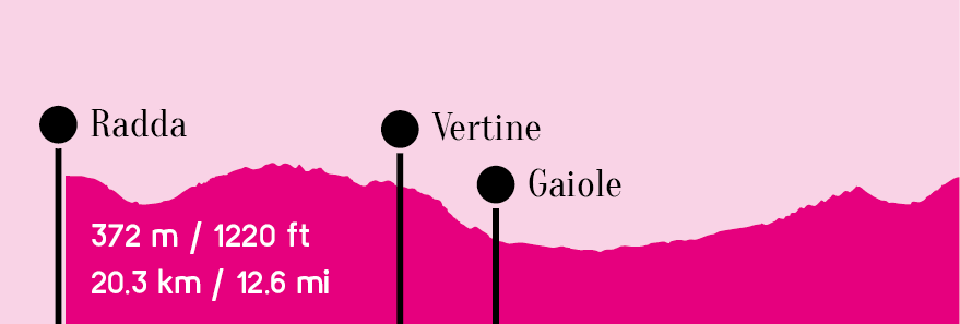
RADDA IN CHIANTI | VERTINE | GAIOLE IN CHIANTI
Length
20.3 km / 12.6 mi
Elevation diff.
372 m / 1220 ft
Duration
1.5h – 2.5h
Difficulty
Description
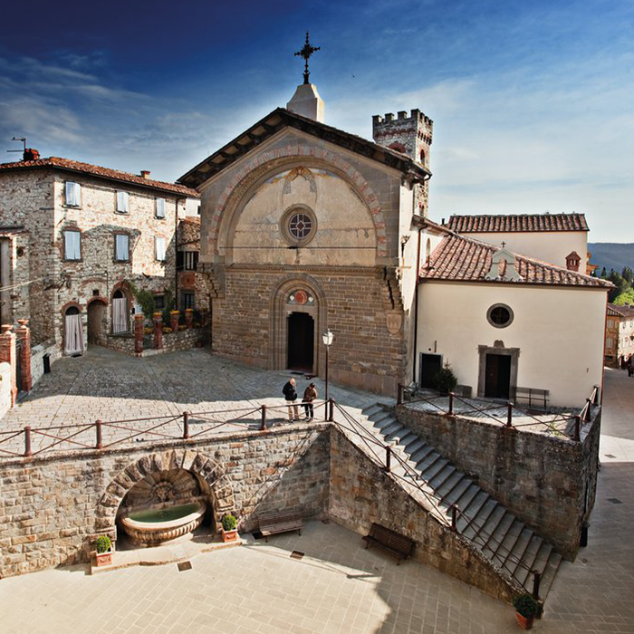
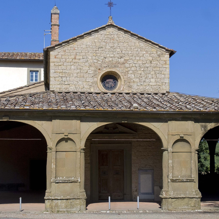
Rolling terrain through vineyards and oak forests to the small fortified hamlet of Vertine and scenic Gaiole in Chianti, one of the three principal towns that form the ancient Chianti League that served to defend Florence from Siena.
Km0 (Radda)—SR429 East > Km4.4 R SR429 South > Km7.2 Castello Vertine > Via Vertine East > Km8.8 L Via Spaltenna > Km9 Gaiole > Km9.4 L SP408 > Km12 R SP di Molinlungo > Km13.9 SP de Molinlungo (SP2)– stay R > Km17.9 L SR429 West > Km20.3 Radda
Elevation Chart